 |
|
|
|
|
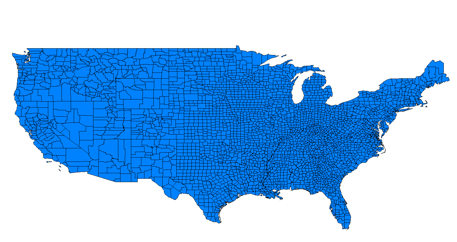
| Map Gallery Slide Show | Image 69 of 75 | ZIP Code Map (Detailed) |
 |
||
| USPS ZIP Code Polygons (Detailed) | ||
|
This data set of US ZIP Codes was created using raw data provided by the United States Postal Service (USPS) and processed using Microsoft Visual FoxPro and MapInfo. The polygons were created by converting points to polygons. The point information provided by the USPS was ZIP+4 data which included latitude and longitude. Using a convex hull algorithm, "detailed" polygons were able to be created for each ZIP Code. The GIS data was created to be used for a Internet web mapping application as well as other GIS marketing projects. Coverage (United States) Format (MapInfo MID/MIF) Projection (Geographic - Lat/Long) Datum (NAD83) Vintage (2004) |
||
|
WHAT IS A
CARRIER ROUTE? CLICK HERE TO DOWNLOAD |
||
| < back | up ^ | next > |