 |
|
|
|
|
| Map Gallery Slide Show | Image 12 of 75 | San Salvador Scan - Basemap |
 |
||
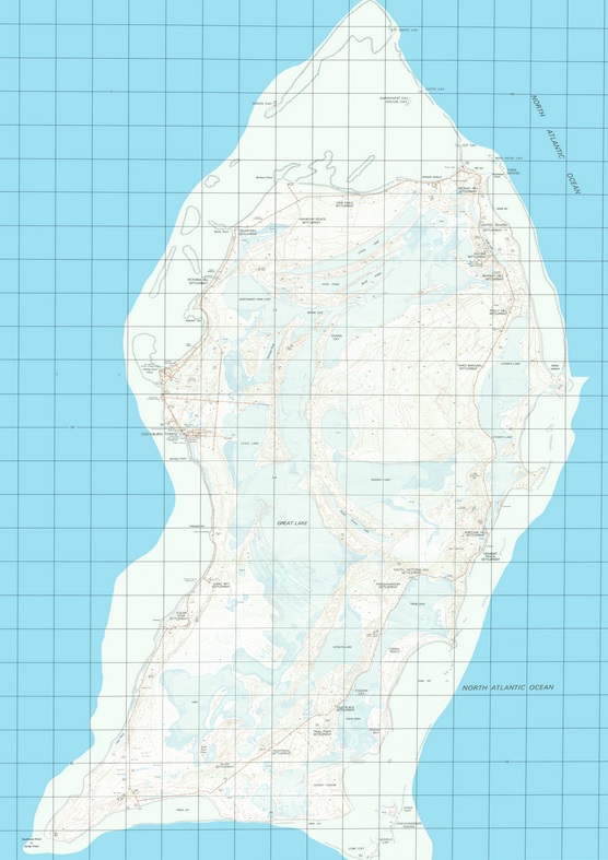
| San Salvador Island, Bahamas Contour
Basemap Scale 1:25,00 Original data obtained from the United Kingdom Geological Survey in two sheets.This map was scanned in pieces and recompiled using Adobe Photoshop. Post processing was done to clean up issues related to the original scanning process. The Image was then rectified and reprojected using Global Mapper 14. It was then imported into ArcView 3.3 using the Image Analysis extension. CLICK HERE TO DOWNLOAD |
||
| < back | up ^ | next > |